 NoCloudware
PoleShift
What if you moved the North Pole?
Pick any point on the planet and the whole world reorders itself around the new axis.
Screenshots
What is PoleShift?
A counterfactual geography toy. Instead of asking where the North Pole is, you decide where it should be — and the app rebuilds the world from scratch: new equator, new poles, new latitudes, on a real rotating 3D globe.
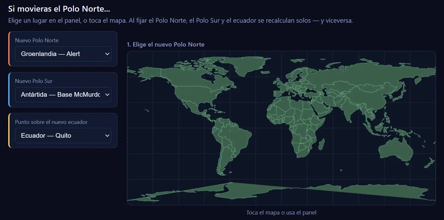
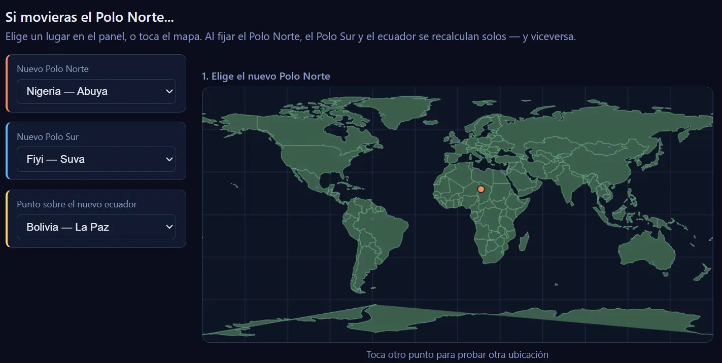
Flat map
The real world, untransformed. Tap any point and it becomes the new North Pole.
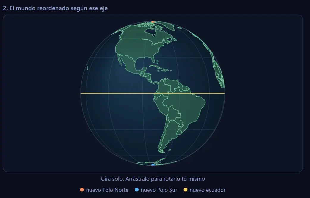
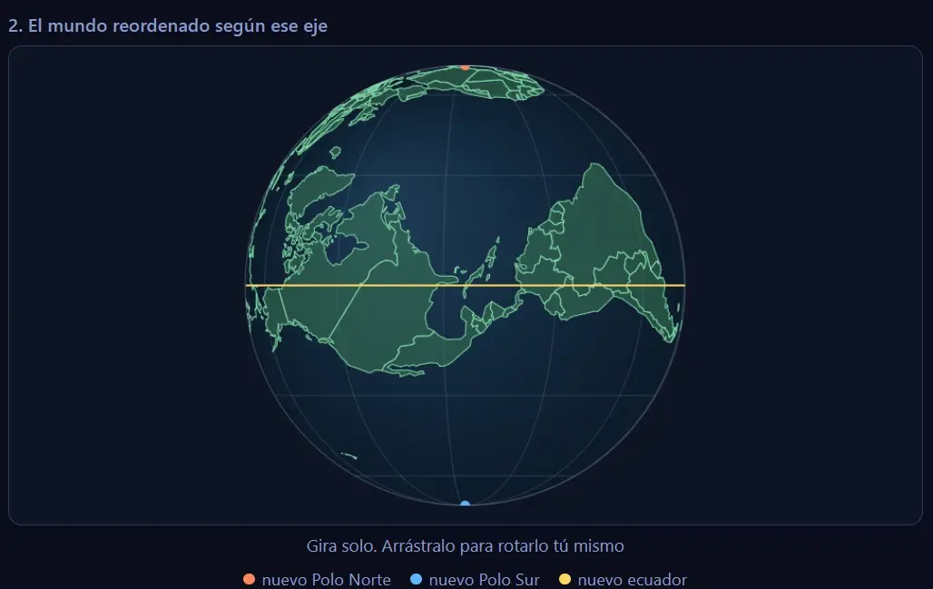
3D globe
The Earth already reordered around the axis you chose, with equator, poles and coastlines recalculated. Spins on its own, draggable by hand.
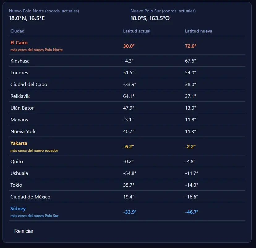
14 cities
Current latitude and the latitude each city would have in the reordered world, sorted north to south and colour-coded by distance to the new poles and equator.
51 preset places
Set the new North Pole, the new South Pole, or a point that should land on the new equator. Choose one and the other two resync by themselves.
Geometric, not physical
A rigid rotation of the sphere, not a simulation of axial drift or precession. Distances between cities never change — only the latitude assigned to them.
Installable PWA
Single HTML file, no build, no bundler, no map library. Installable and works offline.
How it works
Technologies
Single HTML file
HTML, CSS, logic, data and the three drawing canvases in 513 lines
Canvas 2D
Flat map, 3D globe and city list, all hand-drawn
3D cartesian maths
Unit vectors, Gram-Schmidt, orthographic projection, trigonometry
Plain-text geodata
286 nested coastline polygons, 14 cities and 51 places as plain lists
Web App Manifest
Installable, portrait orientation, themed
Service Worker
Network-first for the HTML, cache-first for icons and manifest
Move the pole
Free, no account, nothing to install to try it.